TRAJANUS USA
ENGINEERED INTELLIGENCE™
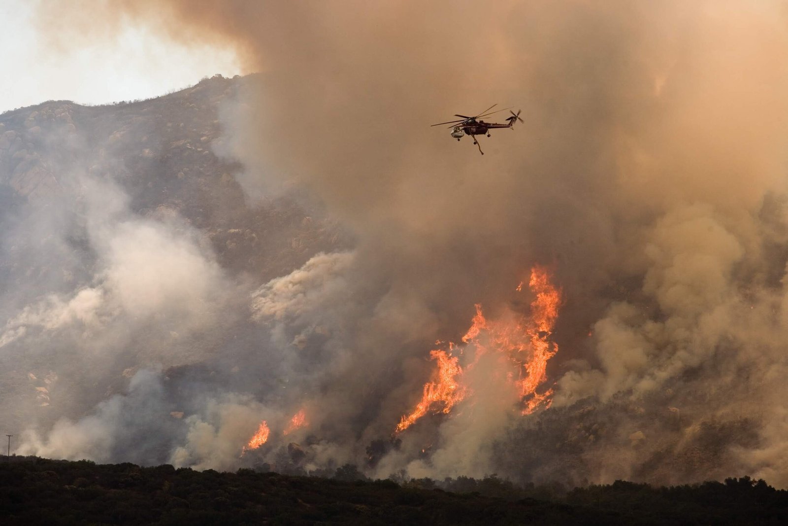
On June 30, 2013, the Yarnell Hill Fire overran and killed nineteen members of the Granite Mountain Hotshots in Yarnell, Arizona. It was the deadliest wildfire disaster for American firefighters since 1933. The crew was overrun by a wind-driven fire that changed direction with catastrophic speed. They deployed their fire shelters in a box canyon with no escape route.
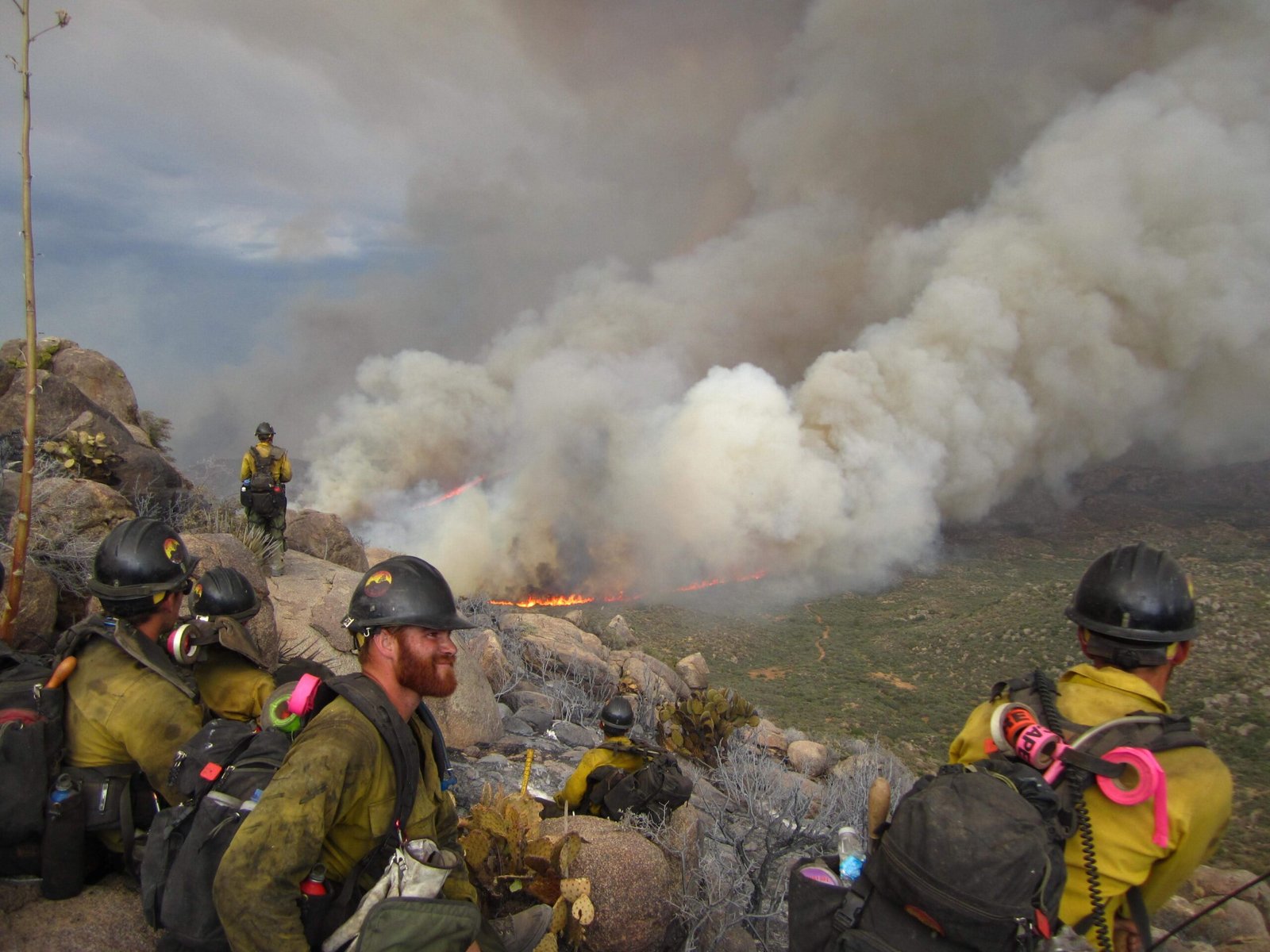
Incident Command had no way to see their positions. No real-time tracking. No GPS overlay on a fire map. No automated proximity alert when the fire perimeter shifted toward them.
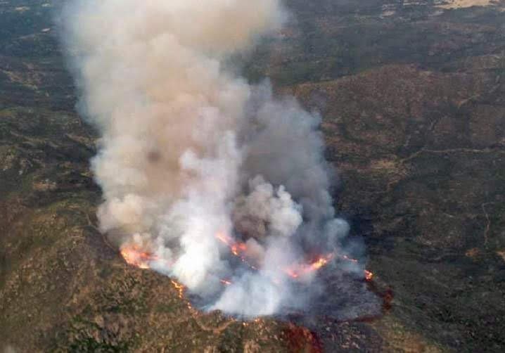
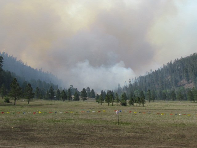
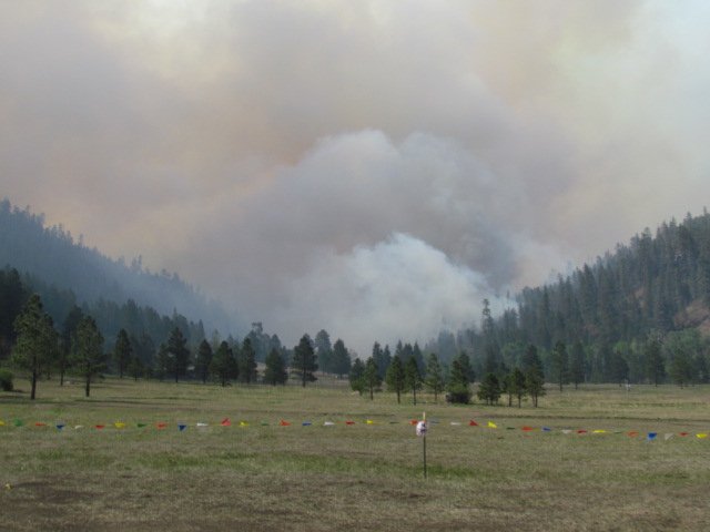
That same day, Bill King — engineer, project manager, and volunteer firefighter with Pecos Search and Rescue — was on mop-up duty at the Tres Lagunas Fire near Pecos, New Mexico. Bill, his wife Jacue, and their son had been running night operations on that fire for weeks, living just one mile from the fire perimeter. The Tres Lagunas Fire had started May 30, burned over 10,000 acres in the Santa Fe National Forest, and forced the governor to declare a state of emergency for San Miguel County.
At the time, Bill was simultaneously working as a project manager in Santa Fe, designing GPS and RFID tracking systems for railroad operations — systems that could locate every boxcar in America with sub-meter precision, in real time, anywhere in the continental United States.
"Why can we track every boxcar in America, but we can't track the firefighters who protect it?"
That question — born from watching 19 firefighters die because nobody knew where they were relative to a fast-moving fire, while spending his days tracking freight with surgical accuracy — became the founding principle of Prometheus.
Bill built the first prototype that year under ARGOS FireTech. The system combined a dual-mode satellite/GSM GPS network using the Iridium Satellite Network, a web mapping application built on the Esri ArcGIS platform, ICS forms integration, and a large-format touchscreen command post. By 2015, when high-speed geoprocessing became commercially available, it became one of the first real-time firefighting tracking and hazard analysis applications — built for the small incidents and volunteer crews that enterprise systems would never reach.
During the 2016 and 2017 fire seasons, Prometheus was extensively field-tested under real-world conditions. Two ARGOS FireTech firefighters were tracked for over 350 miles through the San Juan Mountains of New Mexico and Wyoming. The system displayed over 15,000 position reports and collected thousands of data points.
The result: zero errors. Not one missed position. Not one false alert. Not one communication failure. Three hundred and fifty miles of continuous satellite tracking through some of the most rugged terrain in the American West.
In July 2017, Bill was invited to present at the Esri User Conference in San Diego — the largest GIS event in the world, with nearly 20,000 attendees. The response was immediate: Southern California fire and EMS managers requested demonstrations, Australian emergency management representatives expressed interest for overseas deployment, and industry professionals recognized Prometheus as the first comprehensive solution of its kind.
"Knowing that a team member was monitoring my location on a screen back at the office was immensely reassuring. When things became seriously stressful, it was a life-saver. On the Yarnell Hill Fire, it would have been the difference between life and death."
The prototype worked. Fire agencies responded. But a small company in Pecos, New Mexico couldn't penetrate federal procurement — and life had other plans.
The problem was never the technology. The problem was access, funding, and federal procurement. A small company in Pecos, New Mexico — run by a firefighter and engineer who built a working system with his own money — could not penetrate the federal bureaucracy.
Bill shelved Prometheus. Not because it didn't work. Because he couldn't fight the bureaucracy alone. Life moved on — a 30-year career in construction management, PMP certification, over a billion dollars in Department of Defense projects managed, founding Trajanus USA, partnering with Tom Chlebanowski, PE.
But the mission never left.
The U.S. Government Accountability Office confirmed that only 3.4% of federal wildland firefighters use any form of GPS tracking technology. The Forest Service cannot track the specific locations of most of its approximately 11,000 wildland firefighters on foot during a fire. As of July 2025, only 378 firefighters were voluntarily using the WFTAK tracking app — still in development. The GAO report directly references Yarnell Hill: insufficient information about firefighter locations was identified as a contributing factor to the deaths of 19 firefighters.
Bill had a working prototype in 2015. The federal government still doesn't have a solution in 2026.
Prometheus has been resurrected — with machine learning architectures that didn't exist in 2013, open-source fire behavior models, and satellite tracking hardware at consumer prices. But we're not trying to solve this for the entire federal system. We're starting where we can actually help: small incidents, rural agencies, volunteer crews — the 96.6% that enterprise software will never reach. Start small, prove it works, grow from there.
Prometheus isn't built for CALFIRE or PG&E — they have Technosylva and enterprise budgets. We respect those systems. Prometheus is for the incident commander on a Type 3 fire with three crews in a canyon, no cell service, and no way to know where everybody is. It's for the state forestry division using paper maps and voice radio. It's for the volunteer organization that has the same exposure to dangerous fire behavior as federal crews but zero tracking technology.
The technology is a desktop application built on Tauri v2 — a Rust backend with React 18 frontend. MapLibre GL JS and deck.gl for 3D terrain visualization. Offline-first by design — every core feature works without internet, because fires burn where cell towers don't exist. The entire stack runs on a laptop, costs a fraction of enterprise alternatives, and uses consumer-priced satellite hardware ($250/unit, $30/mo).
Prometheus isn't a pitch deck from a startup weekend. It's being built by engineers with decades of field experience, federal project management, and software development. We're a small, experienced team — and we say that honestly.
The wildfire technology market is booming — billions in satellite detection, AI prediction, and utility risk modeling. Those systems serve large agencies and utilities at enterprise scale. Prometheus serves the other side: the small incidents, rural departments, and volunteer crews where the need is just as real but the budget isn't.
Type 3-4 incidents with 1-5 crews in remote terrain. No cell service, no IT department, no enterprise budget. Need to see where people are on a laptop with no internet.
Departments using paper maps and voice radio. Budgets in thousands, not hundreds of thousands. Will never get a Technosylva contract — but their firefighters face the same risks.
Working in canyons and ridgelines where radio doesn't always reach. Need automated escape route monitoring — a capability that doesn't exist anywhere today.
Groups like Pecos Search and Rescue — zero budget, zero tracking technology, same exposure to dangerous fire behavior as federal crews. $250 satellite units make this possible.
Prometheus is too important to build in isolation. We're a small team — a firefighter, an engineer, a software developer — and we know we don't have all the answers. We're looking for people who can help us get this right: agencies willing to evaluate it on real incidents, researchers who can improve the models, firefighters who can tell us what we're missing.
We're looking for agencies interested in being early evaluators when we reach beta testing. Start small — individual incidents, limited deployments — then scale together.
Collaboration opportunities in fire behavior prediction, ML applications in wildfire science, and GIS-based safety systems. We're pursuing NSF FIRE grants with a university partner.
We're pursuing NSF FIRE grants, the Esri Startup Program, and other funding sources supporting wildfire technology, firefighter safety, and AI in emergency management.
Experienced firefighters and fire behavior analysts who can tell us what we're getting right and what we're missing. The best technology is useless if it doesn't match how fires are actually fought.